Art Hamilton
Joe Brook
Commodity: Tin, tungsten, molybdenum, silver
Claim block number (units): 6282 (7)
NTS Location: 21 J/10
Contact Information: 506-546-5744
[email protected]

Commodity: Tin, tungsten, molybdenum, silver
Claim block number (units): 6282 (7)
NTS Location: 21 J/10
Contact Information: 506-546-5744
[email protected]

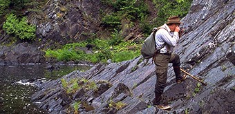
The Joe Brook property consists of 8 mineral claim units that cover approximately 177 ha and it is located in central New Brunswick, on the southeast margin of the Burnthill Granite, approximately 3 km north of the Tin Hill showing (lead, molybdenum, silver, tin, tungsten, zinc) and 6 km northeast of the Burnthill Tungsten Mine (tungsten, molybdenum, tin, beryllium, bismuth, copper, fluorine, gold, lead, titanium, zinc). Historical resources (non-43-101 compliant) of 252,000 tons grading 1.63% WO3 and as 2,821,000 tons grading 0.147% WO3 have been reported for the Burnthill deposit.
Historical stream sediment surveys returned strongly anomalous values, up to 720 ppm molybdenum and 205 ppm uranium, on or adjacent to the Joe Brook Property. A soil survey, carried out in 2006 to follow up historical geochemical anomalies, returned strongly anomalous values of up to 106 ppm molybdenum, 37 ppm tungsten, 0.08% tin, and 8.0 ppm silver. An IP survey identified anomalous chargeability and resistivity coincident with, and proximal to, anomalous soil values. The anomalous chargeability, resistivity, and soil geochemistry, and the proximity to the Tin Hill and Burnthill deposits, support the potential for similar vein/greisen mineralization on the Joe Brook Property.