
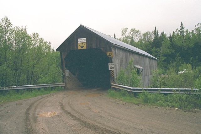
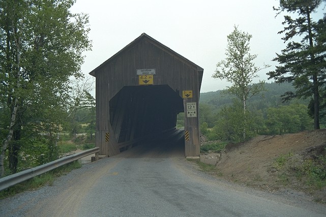
BELLEISLE CREEK #2 (Marven)
Route 1, Exit 175, Route 124 west for 3.9 km (2.4 mi.), on Belleisle Road for 5.8 km (3.6 mi.), turn left on to Swamp Road for 2.5 km (1.5 mi.).
Built in 1903.


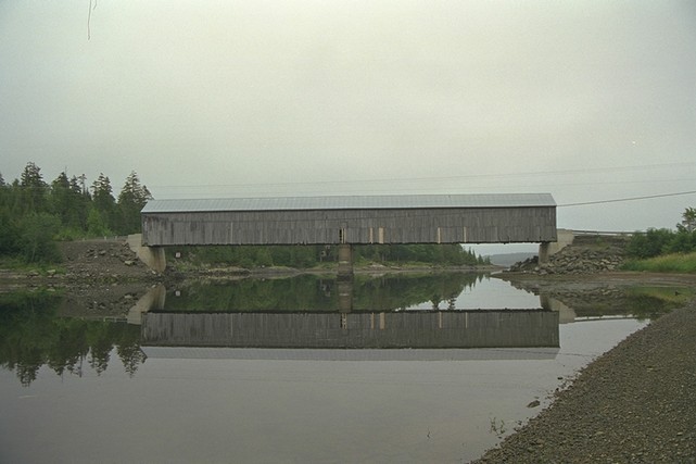
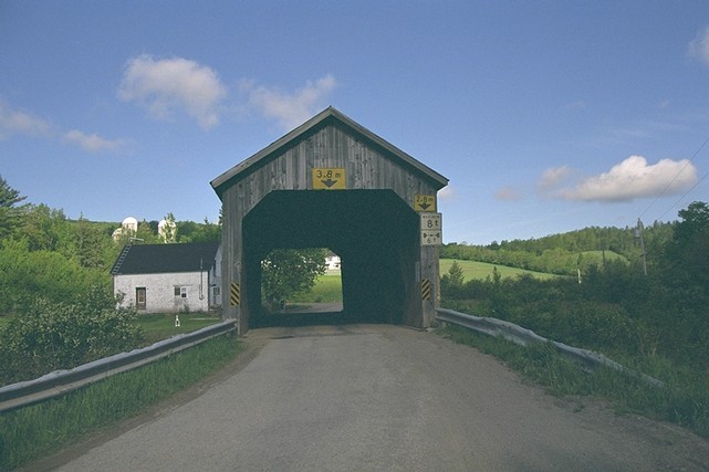
MILKISH INLET #1
Route 7, Exit 80, Route 102 north for 1.2km(.75mi), Route 177 south for 2.2km(1.4mi), Westfield Ferry east, Harding Point Landing Rd. north for 1.5km(.9mi), Route 845 south for 9.1km(5.7mi),
Built in 1920.
Length 66.5m(218’ 2”)
Photo

MOOSEHORN CREEK #1.5
Route 1, Exit 175, Route 124 North, on to Riverview Drive south for 3.2 km (1.9 mi.) to the parking area. (Not in Service)
Built in 1915.
Length 28.9m (94' 8")
Photo

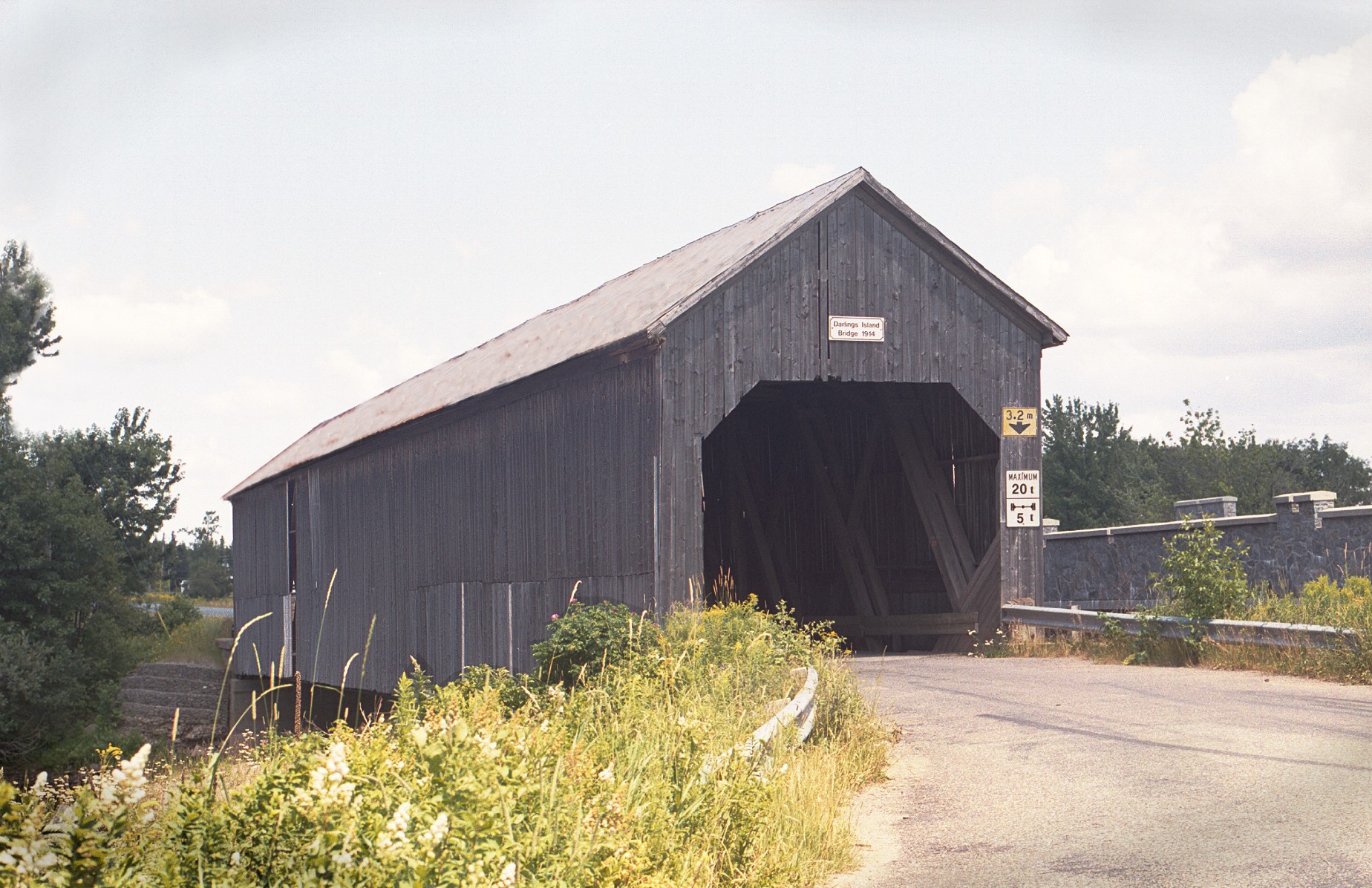
SMITH CREEK #5 (Oldfields)
Route 1, Exit 195, Route 890 north for 12.8 km (7.9 mi.), on to Oldfield Road. In 1992, this bridge was pictured on the first 25 cent coin featured in a series to mark the 125th anniversary of Confederation!
Built in 1910.
Length 28m (92').

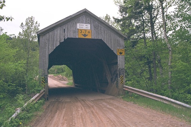
TROUT CREEK #5 (Moores Mills)
Route 1, Exit 198, Route 111 south for 4.2 km (2.6 mi.), Dutch Valley Road (Waterford Road) for eight km (five mi.), on to Drummond Road.
Built in 1923.
Length 17.8m (58' 6")
Photo

BLOOMFIELD CREEK
Route 1, Exit 166, turn north/west on Bloomfield Ridge South Road, turn right on Centennial Road, turn left on Bloomfield Station Road.
Built in 1917.
Length 44.5m (146')
Photo 1

KENNEBECASIS RIVER #23 (Malone)
Route 1, Exit 211, Route 114 south for 5.8 km (3.6 mi.), on Goshen Road for 7.2 km 4.4 mi.).
Built in 1911.
Length 17.7m (58')
Photo

MILLSTREAM RIVER #5 (Centreville)
Route 1, Exit 193, Route 10 north (west) for 8.3 km (five mi.), Route 880 north for 3.2 km (1.9 mi.), on to Pleasant Ridge Branch Road.
Built in 1911.
Length 28.9m (95')
Photo

SMITH CREEK #1 (Tranton)
Route 1, Exit 193, north on to Roachville Road for 2.6 km (1.6 mi.), at Roachville, near Sussex.
Built in 1927.
Length 36.7m (120' 6")
Photo

TROUT CREEK #4 (Urney)
Route 1, Exit 198, Route 111 south for 4.2 km (2.6 mi.), Dutch Valley Road (Waterford Road) for 5.5 km (3.4 mi.), on to Urney Road.
Built in 1905.
Length 20.1m (66')
Photo

WARD'S CREEK #2 (MacFarlane)
Route 1, Exit 198, Route 111 south for 10.8 km (6.7 mi.), on to Wards Creek Road for 1.8 km (one mi.), at Upper Wards Creek, near Sussex Corner.
Built in 1909.
Length 17.7m (58')
Photo


