Legislation
Peat is a substance that belongs to the landowner and about 70% of the peatlands with commercial potential are located on Crown lands.
The extraction of peat on Crown lands is administered under the Quarriable Substances Act. The act provides the Minister of Natural Resources and Energy Development with the authority to manage tenure, exploration and extraction of peat and other quarriable substances on Crown lands.
General Regulation 93-92 details the requirements that must be met to obtain permission to extract peat and other quarriable substances from Crown lands. The Crown Peat Policy creates a framework to encourage and stimulate the development of secondary processing of peat resources in New Brunswick. It also introduces the principle that after extraction, sites must be restored to a natural peatland state or reclaimed to an alternative land use. For further information on peatlands restoration, please check the following guide and its associated updates to Chapter 4.
Usage
Most of the peat produced in the province is used in horticultural applications as a soil amendment or as a component of growing mixes. Peat moss is a good organic soil conditioner, assisting in loosening clay soils and in raising moisture retention in sandy soils. Peat is also used to manufacture containers for plants and tree seedlings.
Peatland Inventory
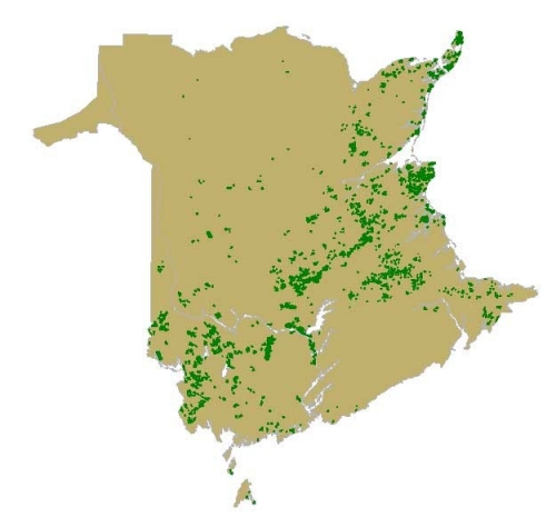
From 1975 to 1983, a major field program was undertaken by the Department of Natural Resources and Energy Development. This program led to mapping and sampling of more than 800 peatlands. The quality of this comprehensive geoscientific Peatland Database has greatly contributed to the successful development of the peat industry in New Brunswick.
From the field data, 289 peat thickness (isopach) maps were produced at an original scale of 1:10 000. For 160 of these maps, a companion elevation map is also available. Peat thickness and elevation maps are available in digital non-georeferenced format. Stratigraphic profiles derived from more than 20,000 boreholes illustrate the distribution of peat types and variations in the degree of humification. Database information on each of the 817 peatlands investigated is available in digital format allowing use of more than 600 variables. Summary descriptions are also available for all peatlands and many have associated geochemical data files.
Many of the files comprising the Peatland Inventory can be accesses through the Minerals and Petroleum Publication Search Query under publication OF 83-10 and MRR 6.


